
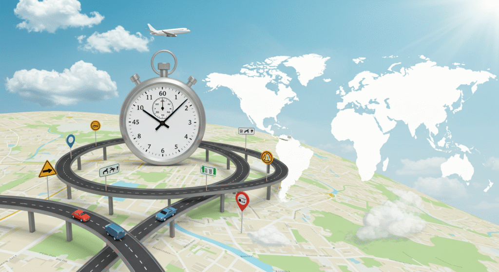
Travel Time Calculator
Calculate your estimated travel time between locations based on distance and transportation mode
Travel Time Estimate
Travel Tips
- Add 10-20% buffer time for unexpected delays
- Check traffic conditions before departing
- For public transport, verify schedules in advance
- Consider weather conditions that might affect travel time
- Plan rest breaks for long car journeys (every 2 hours)
Learn how Google Maps travel time calculates , and how you can calculate travel time using speed, distance, and more. Find out all the details here!
Travel Time Calculator: A Comprehensive Guide
Introduction to Travel Time Calculations
Have you ever wondered how Google Maps knows exactly how long it will take you to get from one place to another? Whether you’re heading to a new café down the street or catching a flight to another city, understanding travel time is crucial. In this guide, we’ll dive into how travel time is calculated by Google Maps, how you can calculate it yourself, and what factors influence these time estimates.
We’ll also cover the basics of air travel time, how to calculate time based on speed and distance, and how you can use simple formulas to get accurate estimates. Let’s get started!
How Does Google Calculate Travel Time?
When you type in a destination on Google Maps, it seems almost magical that it gives you an accurate time of arrival, right? Well, there’s more to it than just a few numbers thrown together. Google uses a combination of algorithms and real-time data to calculate travel time. Here’s how it works:
Google’s Algorithms Explained
Google Maps relies on a mix of GPS data, historical traffic data, and real-time traffic updates to calculate travel time. By analyzing current road conditions, it predicts how long your trip will take. Google’s algorithms use machine learning to continuously improve these predictions based on past trips.
The Role of Traffic Data
Traffic data is a game-changer. Google doesn’t just rely on normal speed limits. It factors in real-time information about traffic congestion, accidents, construction zones, and more. So if you’re driving during rush hour or there’s an accident ahead, Google Maps will adjust your travel time and suggest alternative routes if available.
The Use of Historical Data
Google Maps also uses historical data, which is essentially a big database of travel patterns over time. This helps Google predict how long your trip will take even if traffic conditions are normal. For example, if a road is usually congested during certain hours, it adjusts the estimate accordingly.
Google’s Use of GPS and Sensors
Google Maps uses GPS data from your phone and other users to keep track of real-time traffic. This helps Google calculate average speeds, delays, and more, so it can predict your travel time with high accuracy.
How Google Maps Calculates Travel Time
Google Maps doesn’t just estimate travel time from one point to another—it takes into account several factors that influence how quickly you’ll get to your destination. Let’s break down the details.
Route Optimization
Google Maps doesn’t just offer one route; it suggests several options and chooses the fastest. It analyzes different routes, factoring in real-time traffic, road conditions, and even potential detours. This route optimization is crucial for providing the most accurate time estimate.
Traffic Patterns and Congestion
Traffic patterns are a key part of Google’s calculations. During peak hours, roads may be slower, so Google takes these patterns into account. If there’s a significant delay due to traffic, the app adjusts the estimated travel time in real time.
How to Calculate Travel Time in Kilometers
If you’re not using Google Maps, or you simply want to calculate travel time on your own, you can do it easily with basic math. To calculate the travel time, you need two things: distance and speed.
Formula for Time Calculation
The basic formula for calculating travel time is:
Time=DistanceSpeed\text{Time} = \frac{\text{Distance}}{\text{Speed}}Time=SpeedDistance
For example, if you’re traveling a distance of 100 kilometers at a speed of 50 km/h, your travel time will be:
Time=100 km50 km/h=2 hours\text{Time} = \frac{100 \text{ km}}{50 \text{ km/h}} = 2 \text{ hours}Time=50 km/h100 km=2 hours
Example for Calculating Travel Time
Let’s say you’re driving from one city to another, and the distance is 200 km. If you’re driving at an average speed of 80 km/h, your travel time would be:
Time=200 km80 km/h=2.5 hours\text{Time} = \frac{200 \text{ km}}{80 \text{ km/h}} = 2.5 \text{ hours}Time=80 km/h200 km=2.5 hours
It’s that simple!
Speed and Distance: How to Calculate Travel Time
Understanding how speed and distance relate to travel time can be incredibly useful when planning your journey.
How to Use the Speed Formula
As mentioned, the formula is:
Time=DistanceSpeed\text{Time} = \frac{\text{Distance}}{\text{Speed}}Time=SpeedDistance
This means that the faster you go, the less time it will take to reach your destination. But remember, this formula assumes that there are no delays like traffic, accidents, or roadwork.
Example
Imagine you’re on a road trip and you’re covering a 300 km distance at 60 km/h. Using the formula:
Time=300 km60 km/h=5 hours\text{Time} = \frac{300 \text{ km}}{60 \text{ km/h}} = 5 \text{ hours}Time=60 km/h300 km=5 hours
Travel Time for Different Modes of Transport
Travel time doesn’t only apply to cars. Let’s take a look at how travel time is calculated for other forms of transport.
How Does Google Map Calculate Travel Time for Cars?
For cars, Google Maps takes into account your route, speed, traffic data, and even detours to give you the best possible estimate.
How Does Google Maps Calculate Travel Time for Walking?
Walking speed is much slower than driving, so Google Maps adjusts the travel time accordingly. It assumes an average walking speed of 5 km/h unless you specify otherwise.
How Does Google Maps Calculate Travel Time for Public Transit?
For buses or trains, Google Maps relies on scheduled times, current delays, and historical data to estimate when you’ll reach your destination. It doesn’t just guess—it factors in timetables and real-time information from transit systems.
Air Traveel Time Calculations
Air travel is a bit more complicated, but we can break it down into simple steps. When you’re flying, Google Maps uses average flight times based on routes and airlines.
How Google Maps Estimates Air Travel Time
For air travel, Google Maps factors in flight distance, average cruising speeds, and airport delays. It also takes into account the time spent taxiing on the runway, which can vary based on the airport.
Time Calculation for International Flights
For international flights, Google considers the typical flying time between cities and adds an estimate for check-in time, security checks, and boarding time. It gives you an estimated arrival time, but keep in mind that actual flight times can vary due to weather and air traffic.
How to Calculate Time Traveled from Speed and Distance
If you want to figure out traveel time manually, the formula we mentioned earlier is your best friend. Here’s how to use it for more complex scenarios.
Practical Examples
For a road trip, if you know your destination is 150 km away and your average speed is 75 km/h, you can use:
Time=150 km75 km/h=2 hours\text{Time} = \frac{150 \text{ km}}{75 \text{ km/h}} = 2 \text{ hours}Time=75 km/h150 km=2 hours
How to Improve Your Traveel Time Estimation Accuracy
The more information you have, the more accurate your traveel time estimates will be. Here’s how you can improve your calculations:
Use of Real-Time Updates
Apps like Google Maps give you live traffic updates that can help you avoid delays. Real-time data helps you get the most accurate estimate possible.
The Importance of Accurate Speed Measurements

GPS and smartphone sensors have come a long way, but ensuring your speed is accurate is key to getting the best estimate. When you’re driving, your GPS helps measure how fast you’re going.
Conclusion
Calculating traveel time isn’t just about numbers. It’s about understanding the factors that influence how long it will take to get from point A to point B. Whether you’re using Google Maps, calculating manually, or just trying to figure out how long your trip will take, you now have the tools and knowledge to do so efficiently. Safe travels!
FAQs
- How accurate is Google Maps for traveel time?
Google Maps is highly accurate, but factors like real-time traffic conditions and road closures can affect the estimates. - How do I calculate my own traveel time without using Google Maps?
You can use the formula: Time = Distance ÷ Speed. Just make sure you account for any delays like traffic. - Why does Google Maps change my traveel time?
Google Maps constantly updates traveel times based on live traffic data and current road conditions. - Can I trust Google Maps for air travele times?
Google Maps gives an estimate based on average flight times, but actual flight duration can vary due to weather and air traffic. - How do Google Maps calculate walking traveel time?
Google uses an average walking speed of about 5 km/h for pedestrians and adjusts the time based on your route.